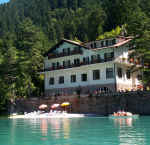
Vacanze al Lago di Molveno, Dolomiti di Brenta
![]()
![]()
![]()
![]()
![]()
![]()
![]()
![]()
![]()
![]()
![]()
![]()
![]()
![]()
|
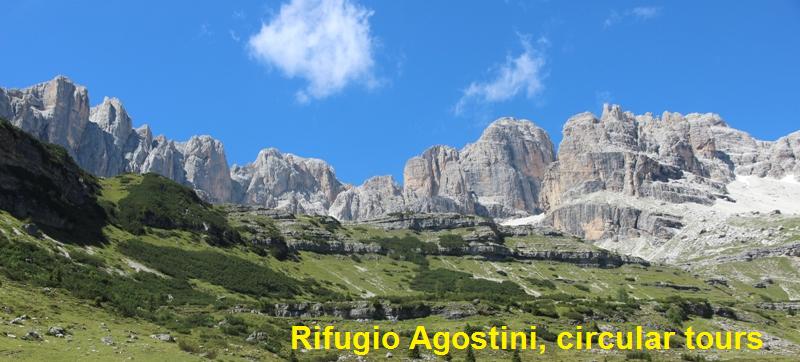
Rifugio Silvio Agostini, Brenta Dolomites, Trentino: Excursions starting and finishing at the Agostini Refuge |

|
Circular tours:
tour of the Cima d’Agola along the Bocca d’Ambiez and the Castiglioni
fixed rope route. Difficult itinerary. Difference in height: 831 m. |
|||||
| Description:
the itinerary proposed here makes use of the two connecting routes between
the Agostini Refuge and the Dodici Apostoli Refuge. The features of this
itinerary make it advisable for climbers who have some experience of
routes with fixed rope supports. |
|||||
| area | path | height | time between areas | time from start | notes, route variations |
| Rifugio Agostini | 321 | 2410 | 0 | 0 | 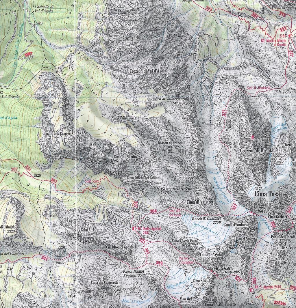 Cartina per gentile concessione Editrice La Giralpina |
| fork 358-321 | 321 | 2500 | 0,20 | 0,20 | |
| bocchetta dei 2 denti | 321 | 2859 | 1,30 | 1,50 | |
| Vedretta di Prato Fiorito, fork ex 359 | 321 | 2740 | 20 | 2,10 | |
| Rifugio 12 Apostoli | 304 | 2489 | 35 | 2,45 | |
| Bocca dei Camosci,fork 327 | 304 | 2784 | 1,00 | 3,45 | |
| Bocca di Ambiez | 304 | 2871 | 0,25 | 4,10 | |
| Vedretta di Ambiez, fork 358 | 358 sud | 2800 | 0,30 | 4,40 | |
| Rifugio Agostini | 321 | 2410 | 0,15 | 4,55 | |
|
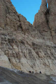
The Ambiez
hanging glacier near the point where paths 358 and 304 meet |
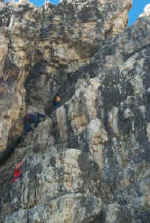
The start of the Ottone Brentari route with fixed rope supports |

| Circular tours: Tour of the Cima Garbari and Cima Ceda peaks along the Brentari fixed rope route and the upper Palmieri path (358, 320). | |||||
|
Difficoltà: Route
with fixed ropes |
maximum height: m.2860, Sella della Tosa |
||||
|
Comment: the itinerary proposed here makes use of the two connecting routes between the Agostini and Pedrotti refuges. Except for the stretch with fixed ropes, which is not very difficult, the itinerary is simple and offers truly lovely views. |
|||||
| area | path | height | time between areas | time from start | notes, route variations |
| Rifugio Agostini | 358 | 2410 | - | - | MAP |
| fork 358-304,Vedretta di Ambiez | 358 | 2750 | 1,20 | 1,20 | |
| Bocca della Tosa | 304 | 2845 | 0,20 | 1,40 | |
| Pendici sud Cima Brenta Bassa, fork 358-320 | 320 | 2470 | 1,00 | 2,40 | |
| Cresta est di Ceda,fork 326 | 320 | 2414 | 1,15 | 3,55 | |
| Forcolotta di Noghera, fork 345 | 320 | 2423 | 0,15 | 4,10 | |
| Rifugio Agostini | 2410 | 0,50 | 5,00 | - | |
|
Il Campanil Basso dalla Vedretta della Tosa, |
The Tosa chimney: the normal path starts at path no. 304 |

Visualizza Parco Adamello Brenta, Settore Brenta in una mappa di dimensioni maggiori